
Mount Pleasant and Northern Columbia Heights
Below is a map of the seven districts that make up ANC1D :
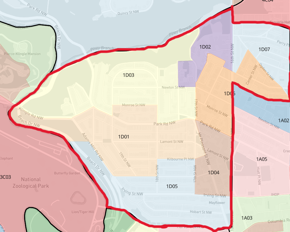
The boundaries of ANC1D are as follows:
Beginning at the intersection of Piney Branch Parkway, N.W., and 16th Street, N.W.; then south along 16th Street, N.W.; then east along Spring Road, N.W.; then south along 14th Street, N.W.; then west along Meridian Place, N.W.; then south along 16th Street, N.W.; then west along Argonne Place, N.W.; then west along Harvard Street, N.W.; then north along the center line of Rock Creek; then northeast along a projected line extending Piney Branch Parkway, N.W.; then east along Piney Branch Parkway, N.W., to the point of beginning.